Cast. Collect. Process. BioBase now processes Deeper sonar data. A streamlined way to pull Deeper sonar ball data into BioBase for pond inventories and hard-to-access waterbodies.


BioBase compatibility with Deeper gives engineering firms, public works departments, municipalities, lake management companies and other organizations another way to inventory ponds and capture bathymetry in sites that are too small, shallow, inaccessible, or unsafe for traditional boat-based surveys.
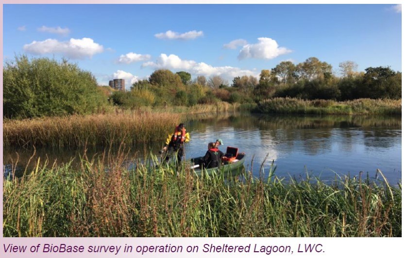
Now the process is simple: collect with the Deeper sonar ball, export the Deeper CSV data from the free Fish Deeper App, and process it through BioBase without any additional manipulation for fast, decision-ready pond mapping outputs.


- Pond inventory projects for engineering firms
- Public works and municipal stormwater programs
- Organizations managing multiple ponds, basins, or small waterbodies
- Sites that are inaccessible to boats or unsafe for traditional surveys like sewage lagoons, acid mine pits, fly ash pits, oil and gas holding ponds
- Teams that need fast, streamlined data products for planning and reporting
Already collecting with Deeper? If you aren’t already a registered BioBaser, sign up at BioBasemaps.com, request a free trial and upload your Deeper data and see the fast mapping magic!