
Ray Valley
Aquatic Biologist and BioBase Product Expert
I frequently get inquiries from current and prospective BioBase users about the accuracy of consumer-grade Lowrance GPS and whether survey-grade 3rd party receivers capable of differential correction (DGPS) or receiving positions from multiple satellite constellations (Global Navigation Satellite System – GNSS) could be used with Lowrance and processed with BioBase.
The first question about accuracy prompted a test in March of 2013 with a Lowrance HDS tested side-by-side with a Trimble GeoXH. I was pleased to find less than 1m deviation on average from post-processed Trimble DGPS positions. One meter accuracy and precision is typically sufficient for most boat-based mapping applications. Still, prerequisites for some projects require DGPS, and there are a number of BioBase users who have and still would prefer to have DGPS generated positions to use when logging trips. Thus, I was interested in exploring the capabilities of networking positions from a third-party receiver into a Lowrance HDS.
Test Device: Emlid’s Reach RS
Emlid’s Reach RS, launched in April 2017, made waves in industry because it promised cm-level accurate Real Time Kinematic (RTK) GNSS technology at a very low cost (rover + base system < $1,600 at the time of this writing). It’s relative ease to operate and wireless configuration/operation through an Android or iOS app offers an attractive solution for environmental and agricultural research. Further, Reach’s light weight has made it attractive for mounting in drone aircraft and boats.

However, manufacturers of GNSS hardware typically follow construction-industry interface/networking protocols and staying up to date on the latest standards developed for the Maritime industry through the National Marine Electronics Association (NMEA) is likely less of a priority for manufacturers. As such, most GNSS devices developed for land-based construction or surveying adhere to the NMEA 0183 interface standard. In the Maritime industry (which includes Lowrance and Simrad), this was updated to NMEA 2000 in the early 2000’s with many enhancements in networking capability and two way communication between devices.
Viewing GNSS positions of the Reach Rover on the Lowrance NMEA 2000 Network
Because Reach is not compatible with NMEA 2000, one of the primary efforts in order to make Reach Lowrance/Simrad compatible is to convert the position sentences from NMEA 0183 to NMEA 2000. Once the position sentences are converted, NMEA 0183 receivers can be connected with Lowrance through NMEA 2000 and the third party receiver can be viewed on the network (e.g., “Device List” below)

Configuring the Reach Rover and Base
These are the steps I followed to network Reach into Lowrance HDS:
First, through the Reachview wireless app, I initialized and configured the Reach Rover and Base to send and receive positions. I followed the wealth of online tutorials and videos available published by Emlid.
Next, in the Reachview app under Position Output, I set serial output baud rate to 4800

Finally, I networked the Reach Rover to Lowrance
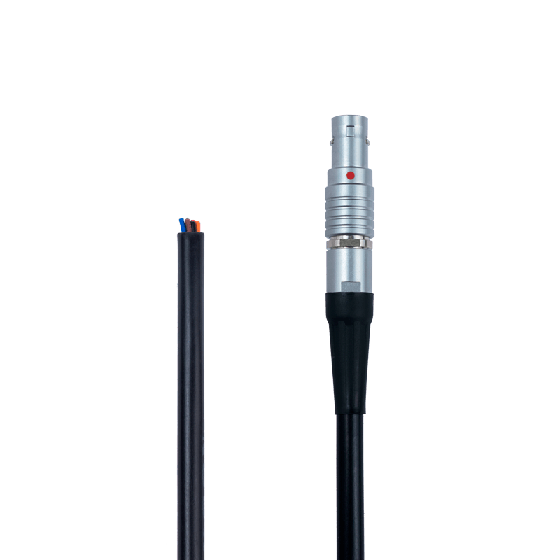
Accessories Needed:


Is Reach RS more accurate and precise than Lowrance GPS?
Once I successfully networked the Reach antenna, then I could get to the important question: Is Reach RS DGNSS more accurate and precise than Lowrance GPS? Of course, the GNSS and RTK capabilities of a Reach Rover and Base configuration should result in more accurate positioning than standard positions from the onboard Lowrance GPS in many circumstances. However, the minimum precision of positions stored in Lowrance/Simrad .sl* files are 5 decimal places which equates to 1.11 m at the equator and 0.79 m at the 45th parallel. So although Reach may potentially hit the analogous bullseye more often than Lowrance GPS, when it’s off, it can never be closer than ~1 m to the bullseye.
Still, there is often a long way from the theoretical to the actual, and the natural world is often inconveniently variable. There are several factors that affect actual GPS/GNSS accuracy that bear mentioning.
Prerequisites for high accuracy by Reach RS via RTK requires
- Clear view by the base station of the sky in all directions visible to multiple satellite constellations.
- Clear line of sight of the base station by the rover in all survey locations
- Other geographical or environmental factors that affect satellite availability and reception (e.g., flat terrain, minimal tree cover)
Where RTK is not feasible due to waterbody size and terrain, users can post-process (PPK) their Rover positions with a nearby reference station. Feeding post-processed positions is currently not an option with BioBase and thus PPK was not a solution explored in this trial.
A simple non-scientific trial: Repeated tracks with Reach RS and Lowrance Point-1 GPS
On the afternoons of October 22nd and 23rd 2018, on the St. Croix River in Bayport MN USA, I ran a trial with a Reach RS networked to a Lowrance HDS-12 Carbon. Specifically, I was interested in simulating a common BioBase application: mapping bathymetry in a real-world scenario. I recorded 3 repeated survey tracks using Reach, and another 3 using Lowrance’s Point-1 GPS (Lowrance’s popular off-the-shelf external GPS receiver). The question I was interested in addressing was whether the Point-1 GPS deviated further on average with greater variability from a target path of travel than Reach RS with RTK differential correction from a base station placed approximately 200 m in plain sight on shore.
The primary challenge of this trial at the outset was that it was on open water and thus impossible to travel over the exact path with each replicate. Although the primary objective was to simulate real-world conditions, I may some winter day repeat this experiment with a tech-loaded sled on snow-covered ice where I have absolute certainty the same path through the snow is traveled repeatedly.
The next series of images along with annotation describe the process of carrying this trial out.


Some Conclusions
First, we were encouraged that we could reliably connect a NMEA 0183 GNSS device to a Lowrance NMEA 2000 network and feed RTK DGNSS positions into BioBase-compatible .sl* files. This is good news for Engineer firms who have GNSS devices already and would like to use with BioBase or for those surveys where DGNSS is required by the end user of the survey data. Emlid’s Reach RS+ is a low cost, yet high quality solution for DGNSS needs. Still, converting NMEA 0183 to 2000 is a bit more cumbersome than it needs to be. We look forward to the day when more GNSS devices have NMEA 2000 neworking options.
Second, accuracy (as measured as the average distance to the target path) with Emlid’s Reach RS was statistically better than the Lowrance Point-1 even with a less than ideal study design of using a consumer GPS for navigation of repeated tracks (1.32 m vs 1.49 m respectively). Still differences between receivers were not large and the Point-1 delivers sufficient accuracy for most types of bathymetric surveys. The dispersion of positions (standard deviation) from Reach RS was also significantly smaller (0.8) than Point 1 (1.0 m) during these trials. In other words, although precision is limited to ~1 m at the point level due to .sl* file limitations, precision of all points taken together was significantly better with Reach than with Point-1.
Still, BioBase’s primary strength is leveraging low-cost off-the-shelf technology and automation to produce high quality data and map outputs very quickly with very little user input. Habitats in waterbodies (e.g., aquatic plants, bottom composition, depth) are quite dynamic and 1 m horizontal error is acceptable level of error for most system-level (e.g., whole lake or pond) surveys. In that case, users will find that the Point-1 GPS is sufficient.
I’m going to do something similar with Trimble R8s and Lowrance elite 9 ti2, but I’m thinking about using NMEA 0183 connector in Lowrance. Why You decided to use converter to NMEA2000 insted of using NMEA0183 port in Lovrance?
In short, converting the signal to NMEA2000 allows it to “play nice” with the Lowrance (or Simrad) and be “seen” on the network. Also, will feed the gps positions into the .sl2/3 file seamlessly. Not sure whether GPS positions over NMEA 0183 would be read into the .sl2/3 file. Keep up posted on how it works! – Ray