
Given the disdain for the word “weed,” it’s not surprising that seaweed gets such little respect in most developed human cultures. But, we are finding seaweed and its rooted cousin seagrass hold immeasurable value for the future of humankind. Time to get to work mapping it!
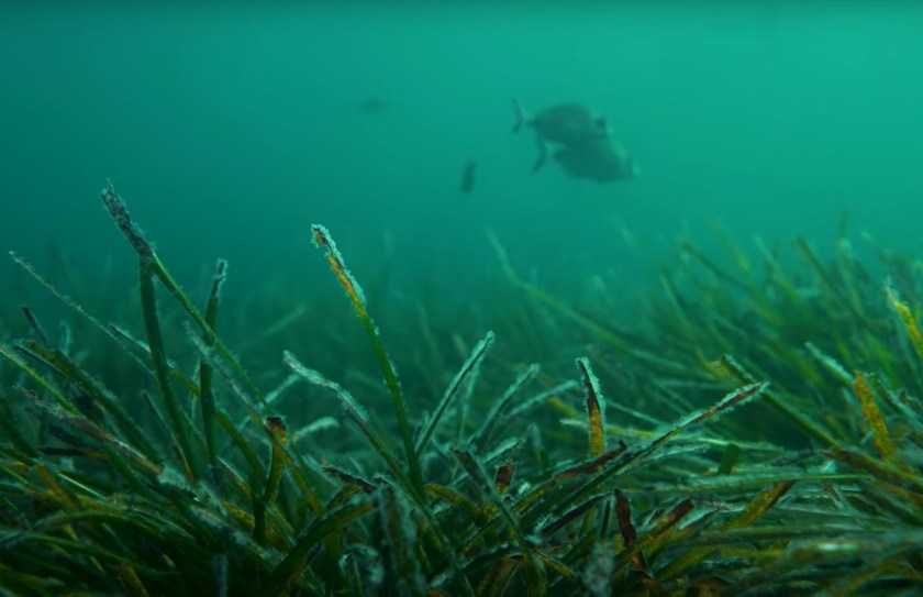
Seagrasses are considered vascular plants and have roots, stems, leaves, and flowers. According to a report from the United Nations in 2020, there are more than 70 species across the globe covering over 300,000 km2 (which is likely a vast underestimate) making them one of the most widespread coastal habitats.
Continue reading “Weeds and Seagrass: mysterious and underappreciated treasures of the sea”