
BioBase now offers a single waterbody subscription, it includes unlimited uploads to a single waterbody for 30 days and up to 10GB of storage for $399. The BioBase team has listened to your feedback on the single use plans and expanded it to a single waterbody. This feature now allows occasional, project-based users the ability to purchase a short-term full-featured plan on one waterbody without the commitment to a full unlimited subscription. You can purchase the single waterbody subscription through the “My Account” page then “Purchase New Subscription” link.

To purchase the single waterbody subscription online you will need to verify the waterbody. Simply right click on the lake on google maps or bing maps to copy the latitude and longitude of the waterbody. Paste it into the Validate Lat-Lon button (see below)

If we have the waterbody in the system, the name is displayed and you will only be able to process sonar logs collected in that waterbody. If we do not have the waterbody, BioBase will alert you to create a name for it. The system will create a placeholder boundary that our quality control team will adjust within one business day. If you are mapping a multiple waterbody complex and need more information about what is considered one waterbody or multiple, please contact us at sales@biobasemaps.com or call us at 651-204-0640.
Is the lake “complex” I am mapping one or multiple lakes?
Below is an example of what would be classified as two separate waterbodies. Both the north and south lakes are hydrologically connected but have two separate access points. The blue outline is what is used to define the south waterbody. If the user purchased a single waterbody subscription and uploaded trips from both waterbodies, only the waterbody that includes the Latitiude and Longitude coordinate that the user submitted would be viewable after processing. In this case, the user would have to purchase two single waterbody subscriptions if the project covered both waterbodies. Waterbody boundaries can often be complicated, so if you have a project in a lake, pond, or canal complex, please contact us and we can evaluate your project and recommend the plan that will best fit your needs.

The value proposition of the single waterbody allows those working on a billable hours format the ability to bill the client for their work using BioBase. Allowing subcontractors to work BioBase into their portfolio of tools will open the door for more accessible aquatic mapping.
Mapping waterbodies not in BioBase’s database
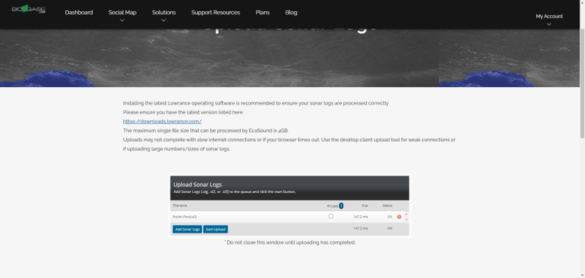
Below is the sequence of steps you will need to take if you select a waterbody that BioBase does not have in its database. Further, naming your sonar log what you want an unnammed waterbody to be listed as on your BioBase dashboard (e.g., “John Smith’s Pond”) would help our QC team correctly name the waterbody once your sonar log is uploaded to BioBase.


The EcoSound Habitat Plus single waterbody now offers all the benefits of habitat plus without the upload constraints and time window of the old single use upload. Check out the Plans page for more details, or curious what hardware to purchase to get started read more Here.